

The first stage of Tour du Mont Blanc took us from France to Switzerland, along snow-capped mountains, and through magnificent landscapes. We learned that happiness is slowness – and that it is not technically difficult to hike on mountain paths, but it is possible to break a finger in a flower meadow.
Written by Mette / Photo by Martin
Translated from Danish
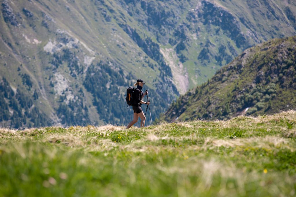
The idyllic notion that the Tour du Mont Blanc runs along an effortlessly and smoothly hilly path is challenged right from the beginning. Since our hiking boots left the asphalt at the small mountain town of Le Tour and with great eagerness stepped onto the first stage of the route, the small forest path has only led us steeply upwards. Up, up and up …
The sweat drivels on the forehead, the lactic acid seeps into the legs, and the pulse beats brashly. We attempt to catch our breath lightly, while laughingly confirming to each other that our struggling efforts are undoubtedly caused by the thin air. Hmmhh … Absolutely, Sherlock! We haven’t even crossed the tree line yet.
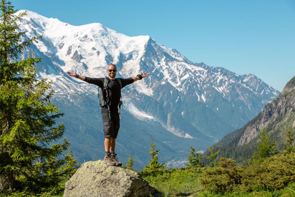
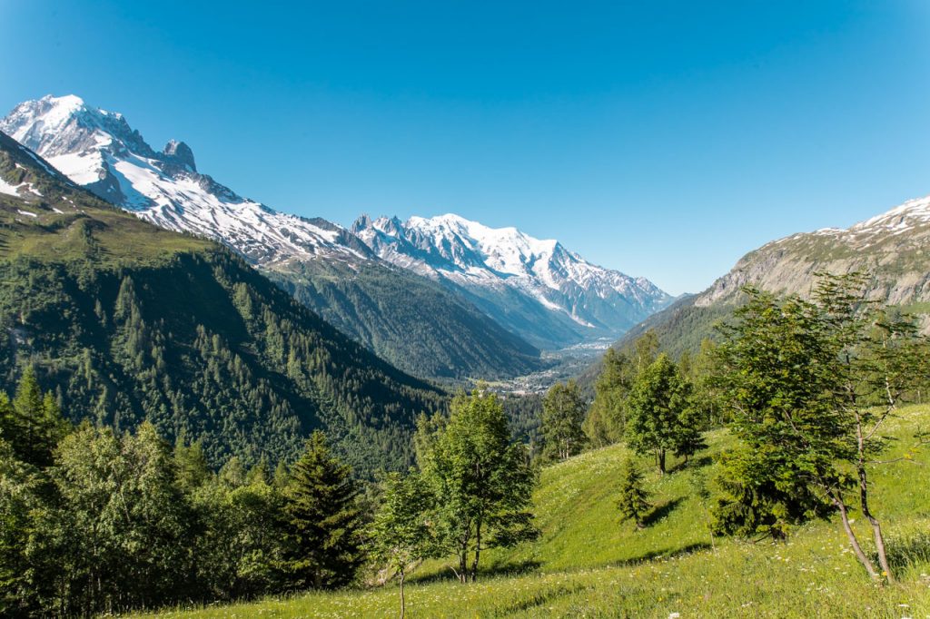
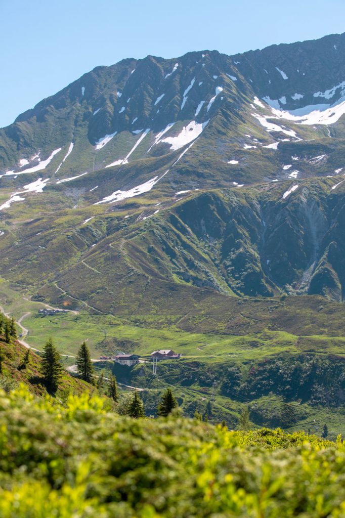
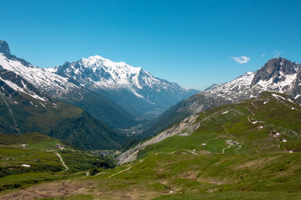
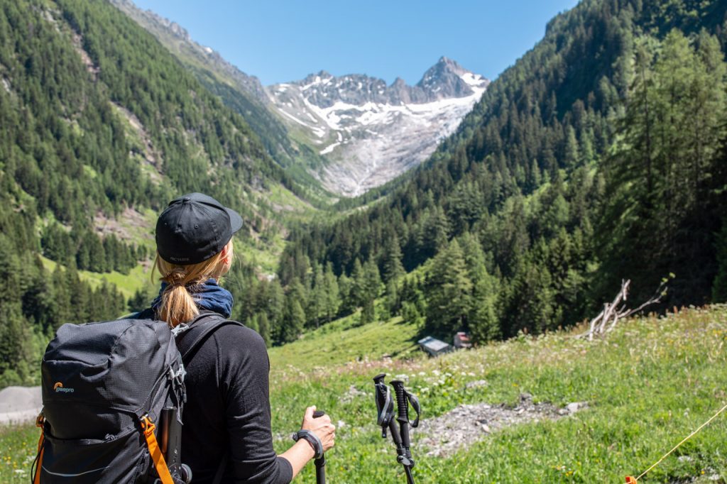
In the first hour, we covered almost 300 meters in altitude and are now on a mountainside at a height of 1.800 meters. The view is insanely beautiful! The snow-capped peaks of the Mont Blanc massif shine white against the blue sky and counter as a stark contrast to the green landscape of the Chamonix valley.
From up here, we can only glimpse the town from where we started today’s stage. The houses look like small dots at the foot of the mountains, which rise like a granite grey amphitheater. Although the endorphins probably give us an extra shot of happiness, we’re totally high on the view. It’s kind of crazy to think that the hike has only just begun.
A capricious partner
The first part of the path wound through a light green forest. In particular, the birch trees were visibly affected by the fact that the winter has been unusually harsh. It has not only shown teeth. It has also bitten hard. Several trees were broken and displayed splintered caps.
The sight reminded us of what could possibly be the biggest challenge of the trip further up. Some of the trails are still closed due to the winter’s large amounts of snow, and a few days before our departure from Denmark there were warnings against crossing the mountain passes on the third, fifth and sixth stage.
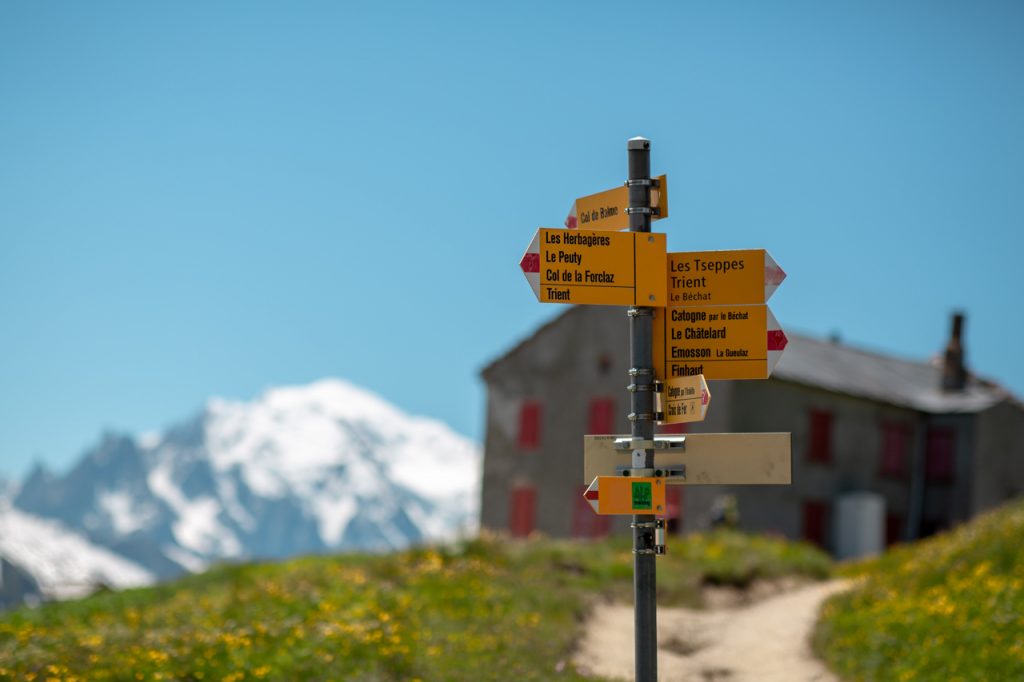
However, today’s stage should be easy-peasy for two mountain novices like us. Last night we inquired among the locals about the condition of the trails: “It’s a wonderful hike to Trient, enjoy yourself”, it sounded reassuring. But always in combination with good advice: “Ask how the trails look further ahead when you meet others on the route.”
“Gossip is your best friend in the mountains!”
In general, it is a good practice among hikers to exchange information. Because like all other mountains in the world, Mont Blanc’s mood is capricious 365 days a year. The weather is unpredictable, frequently changeable, and affects the accessibility of the trails. The optimal way to get the best updates about the route is therefore to talk to those who have just hiked the trails that await you.
Yep, gossip always runs fast – even in the mountains, where both Wi-Fi and mobile coverage are scarce. Now we just hope that the other hikers bring good news. If we are lucky, the sun will have melted the worst snow before we reach the highest and most challenging mountain pass of the trip.
When we discovered our superpowers
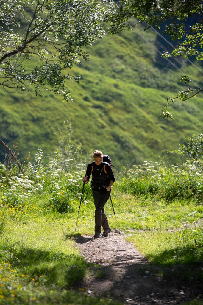
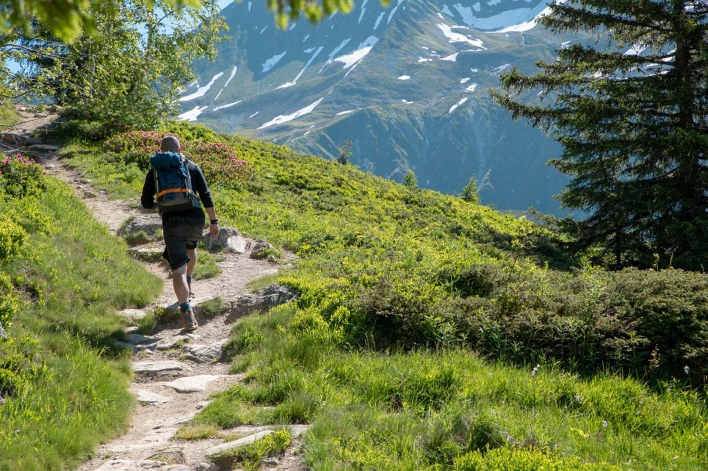
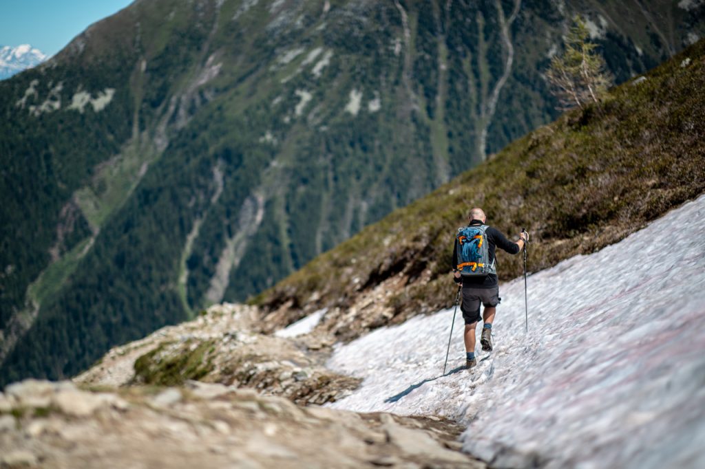
For the next few hours, the trail winds its way across vast mountain landscapes, through flowery hillsides, and along snow-capped peaks. Sometimes we can see the path so far that it just looks like a pencil line on the horizon. At other times it winds around green hillsides or disappears behind the ridge of a steep climb.
It nibbles lightly on the buttocks, and we pant with exertion. We’ll gladly admit that we’re not exactly in the best shape of our lives, but this is still surprisingly tough! The biggest challenge, however, is not stopping every five minutes just to take another photo of the surroundings, which only seem to get more beautiful, remoter, and more impressive the further and higher we go.
It is impossible to go particularly fast when our gaze constantly travels between the path, the view, and the viewfinder of the camera. We just barely manage to put one foot in front of the other. Slowly we begin to find a natural rhythm of progress. Our tempo drops, along with our heart rate. A simple revelation appears:
Snail pace is a superpower in the mountains
Ah! Happiness is walking slowly! Up until now, we have trotted excitedly off at an unnecessarily high pace. Although the paths almost constantly go steeply up or down, it is neither technically difficult nor mind-numbingly hard to hike on the mountain paths – as long as we adjust the pace accordingly.
We actually learned that trick on a hike in Austria, where the guide revealed the secret behind completing mountainous stages: Haste is a burden, a snail’s pace is a superpower! This is obviously a very simple trick, but I suppose excitement and force of habit sometimes work against you. And as a bonus, we can now enjoy the landscape without the commotion of a racing heart rate and eyes full of suns-creme-sweat. We just have to make it to the next cabin before 19 in the evening, when dinner is served. We’ll probably make it …
Au revoir, France
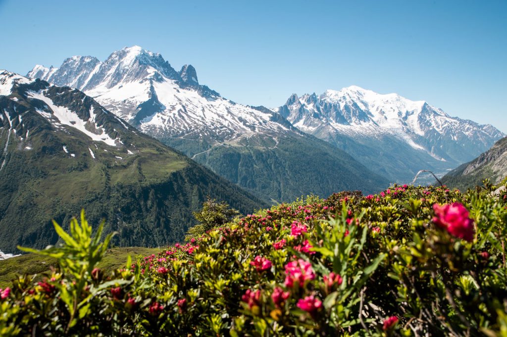
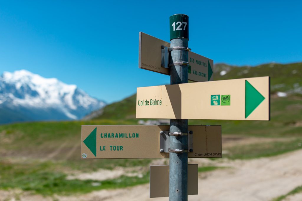
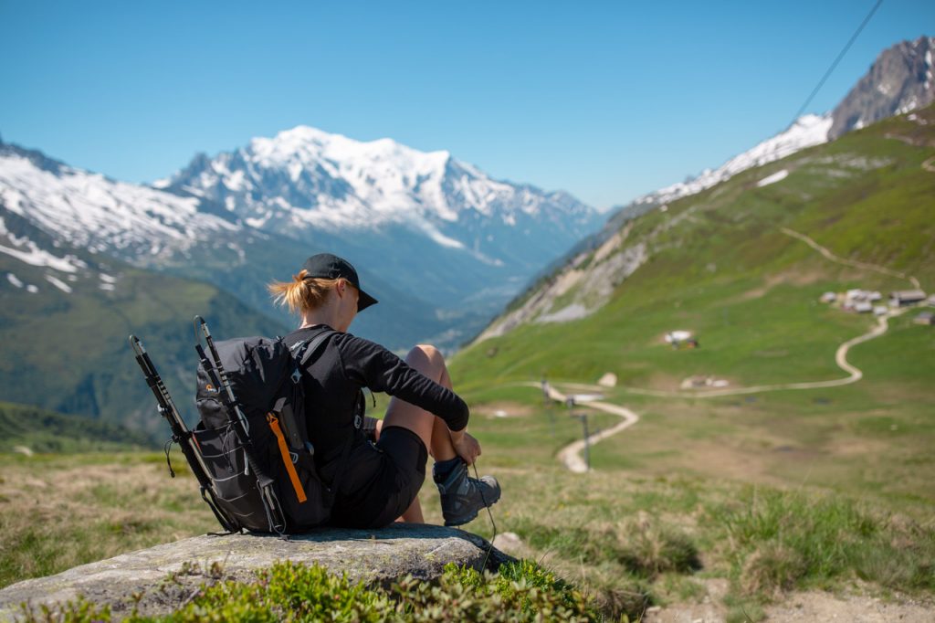
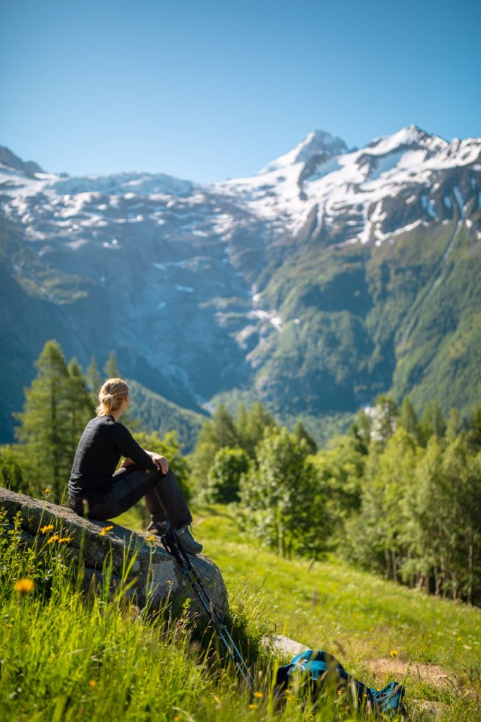
Today’s most spectacular view and the highest point is the Col de Balme. A mountain pass at 2.191 m, where we can look back at France and the green valleys from which we came – and onward towards Switzerland and a v-shaped gorge between two mountain sides, where the path continues down towards the valley and the village of Trient. Today’s final station.
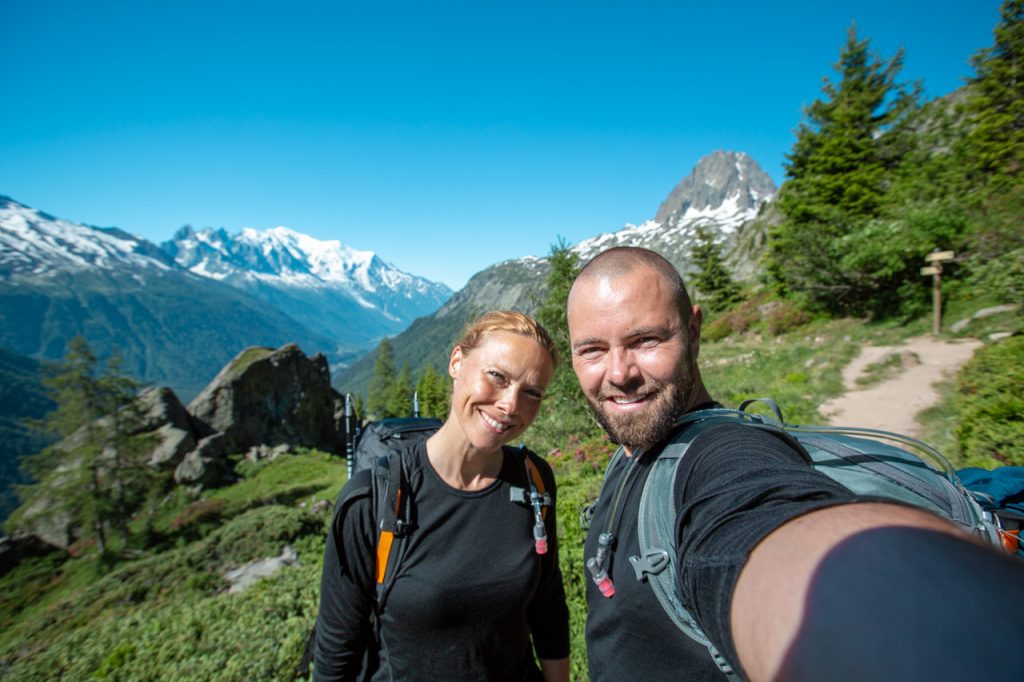
We are standing exactly on the border between two countries
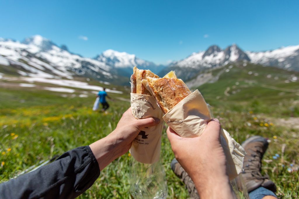
It is wildly breathtaking to be able to scout out one mountain peak after another and across national borders. So, before it’s time to hike on, we do like all the others who have made it to the top. We pull the packed lunch out of the rucksack, rest in the grass and munch our way through a baguette while we gluttonously consume the view with our eyes.
Descent of the day
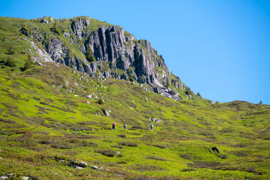
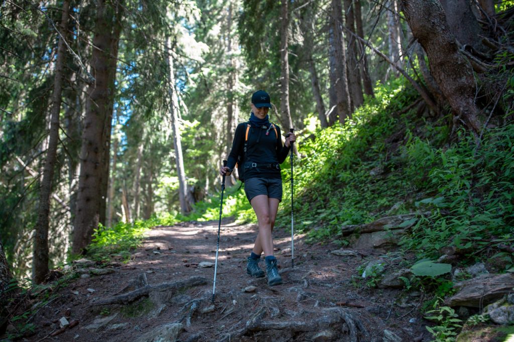
The last two hours are the most challenging of the day. Step by step, our legs carry us down more than 900 meters of altitude, where the last few kilometers are the hardest. A narrow path winds steeply downwards, serpentine bend after serpentine bend, and through a dense coniferous forest with an uneven bed of tree roots and rolling pebbles.
Here, even the best hiking boots can turn into roller skates in an instant. We have actually only just started the descent when Mette quite involuntarily demonstrates how fast it can go. Like a cartoon character, she suddenly hangs in the air and flutters her arms and legs. But gravity has already won.
Bump!
Hiking down we truly begin to understand the huge advantage of using walking poles. They reduce the likelihood of falling on your ass and at the same time relieve the body on the steepest descents. The most logical thing is to believe that it is harder to go up than down. But that mistaken notion couldn’t be further from reality than right here. Here, it makes your knees and legs ache.
End station
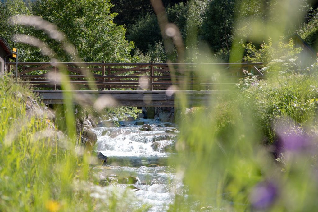
We cheer as the forest finally opens into a smooth meadow of flowers. The path flattens out and leads us toward a rushing stream that is barely four meters wide. The current is strong, and the most obvious stepping stones are too far underwater to bring us dry-shoed to the other side. Instead, we choose to continue along the stream with the hope of finding a better place to cross.
A little further on, we meet a group of Italians, whom we have greeted several times on today’s stage. Something is wrong. One of the women is sitting in the grass and looks slightly dazed. When we ask if she is ok, and if they need help, she puts her hand in the air in response. Her ring finger bristles in a most strange and unnatural direction.
OUCH!
The finger is clearly F … Fortunately, nothing serious has happened, but the episode still reminds us to be careful. And always use hiking poles! Because you can hike over steep, rocky mountain passes without any problems, but stumble unluckily in a soft flower meadow – and then the rest of the hike is a closed chapter.
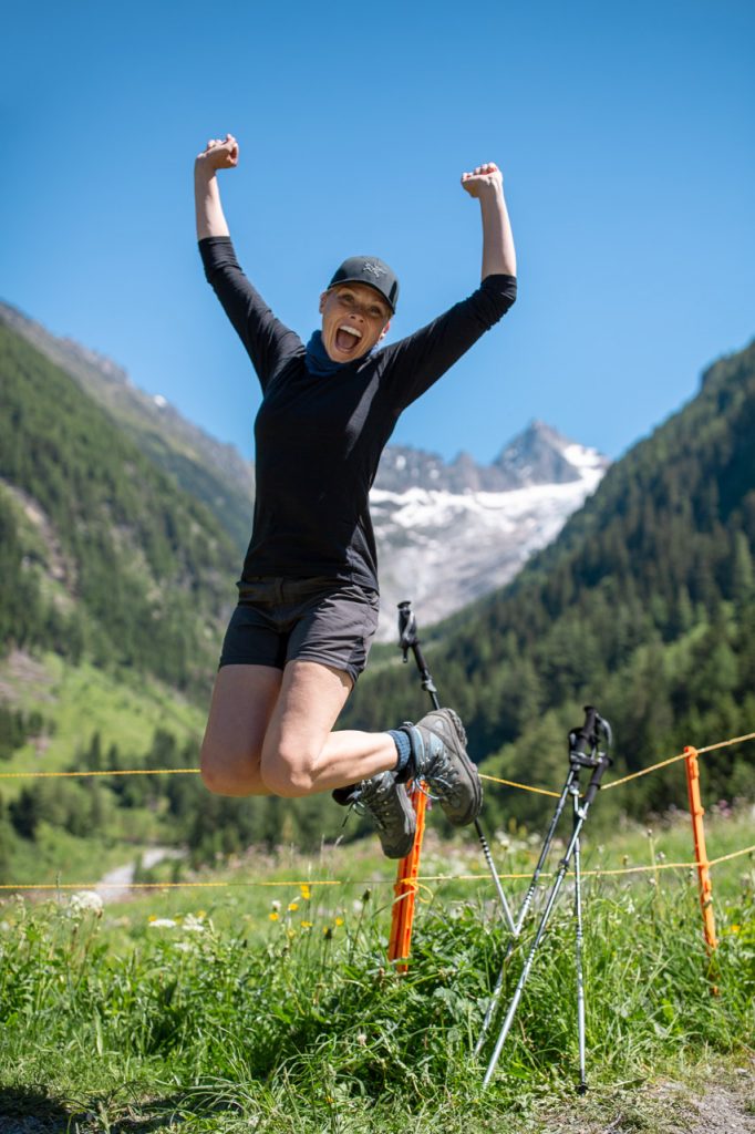
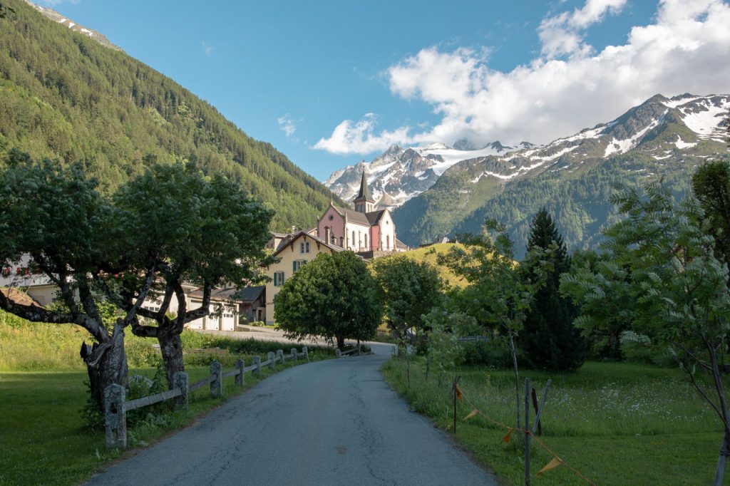
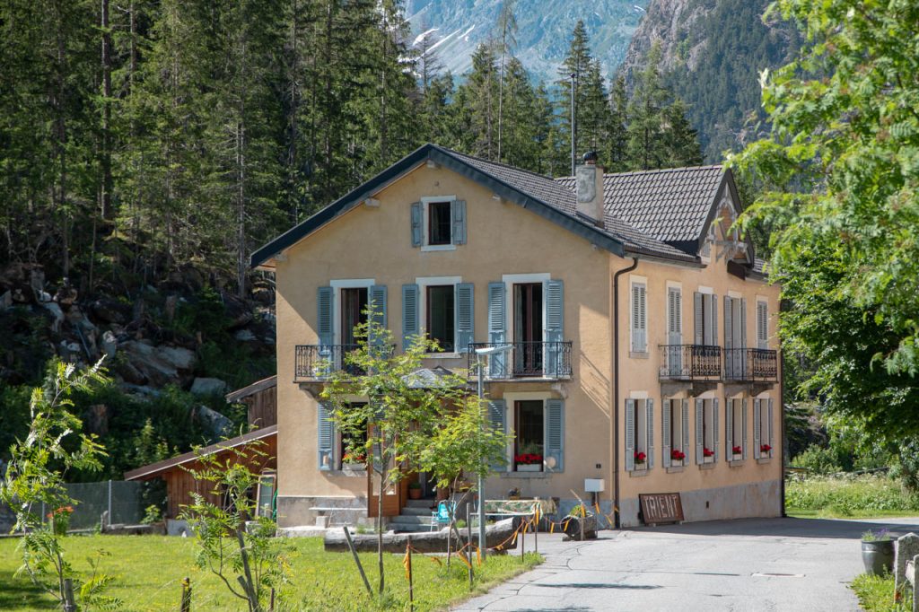
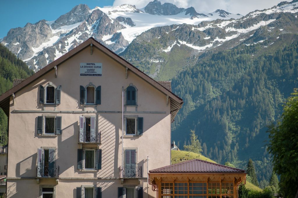
Fortunately, our closed chapter is only for the day and completion of the first stage. We find a less challenging place to jump over the stream, and a little later we arrive at an asphalt road that takes us the last kilometer to the final destination of the day: Hotel La Grande Ourse, a family-owned mountain hotel in the village of Trient.
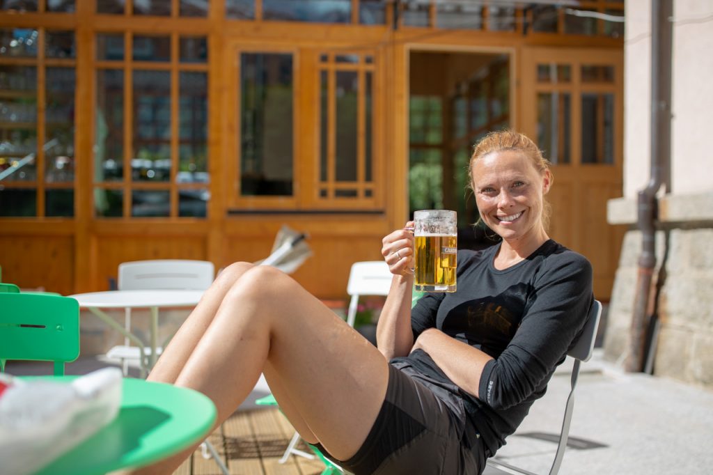
Here we soon learn about things that are also a big part of being on a hiking-holiday: communal dinners, packing routines, cabin culture, and why there is always one room that smells of vinegar. But more on that later. Now we want to celebrate completing the first stage of the trip with a BIG, cold beer!
Useful facts on the first stage
In the hiking guide, we got from the travel agency, various data about today’s stage are listed – i.e., how long it is and how many hours it takes to complete if you walk at an average of 3.5 km/h without breaks.
To give a more realistic picture of the trip, we have added our own data in brackets. We have also added another number, namely how many floors Martin’s GPS watch has registered that we have gone up and down. Although it is a slightly silly scale, it still gives a sense of what it physically requires to hike the stage.
TMB stage 1
• Route: Le Tour (France) – Trient (Switzerland)
• Kilometers: 14 km (22.3 km)
• Altitude difference: 850 m up / 900 m down
• Total height meters correspond to the number of floors: 271
• Highest point: 2.191 meters
• Time: 5 hours (7 hours)
The route – from cabin to cabin
We took a bus from the hotel in Argentière to the car park in Le Tour (Chamonix Valley, France) where stage 1 began. If you have spent the night in the valley, you can get a bus pass free of charge from your hotel. The hiking trail starts from the car park in front of the gondola lift in Le Tour and goes over the Col des Posettes and the Col de Balme to the mountain town of Trient (Switzerland).
Accommodation
• Argentière: Hotel de la Couronne
• Trient: Hotel La Grande Ourse
Useful links
• Official updates on the trails: Tour du Mont Blanc
• Facts about the highest point: Col de Balme
• Chamonix: The weather forecast in the valley
• Map: the TMB route